Tumaria Dam: A New Quiet Getaway in Uttarakhand
For most of its history, Tumaria Dam has done one job, and done it well. Built as an earthen embankment near Kashipur in Udham Singh Nagar district, it has spent decades storing water for the surrounding farmland, largely unnoticed by anyone outside the irrigation department and the villages that depend on it. That's starting to change, and the reasons are worth understanding if you're tracking either Uttarakhand's tourism map or its second-home real estate market — because the two are moving together in this particular pocket of the state.
This piece looks at what Tumaria Dam actually is, its history and function, why interest in the surrounding belt is picking up, how it compares to more established Uttarakhand destinations, what a visit here realistically looks like today, and what all of this means for anyone considering land or a villa nearby.
What Tumaria Dam Actually Is
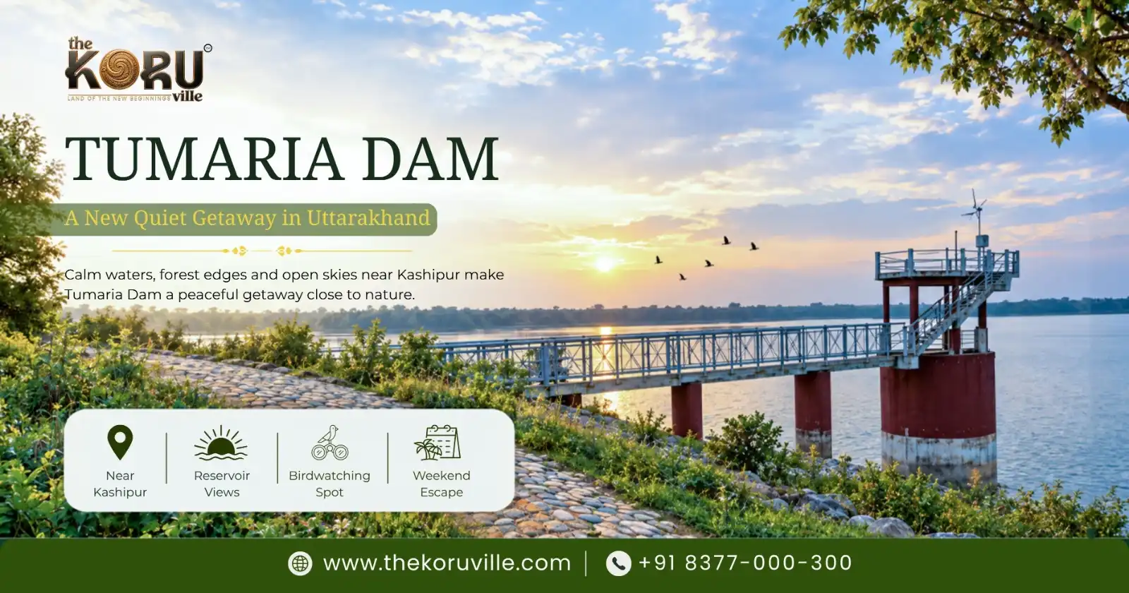
Tumaria Dam is a homogeneous earthen dam located in Udham Singh Nagar district, roughly 20 km from Kashipur town. According to records maintained by Uttarakhand's irrigation authorities, it was built primarily for irrigation, flood control, and fisheries, and it draws its water from the Dhela and Phika river systems — a detail that matters if you're trying to understand the ecology of the area, since these are smaller, forest-fed tributaries rather than a major Himalayan river. The reservoir it forms stretches a considerable distance across the Tarai belt, and it remains functionally an irrigation asset first — the tourism interest building around it is a newer, secondary development layered on top of that original purpose, not a replacement for it.
This distinction matters more than it might initially seem. Reservoirs built for irrigation tend to have water-level management schedules driven by agricultural need, not visitor convenience — which is part of why anyone visiting or investing near Tumaria should treat seasonal fluctuation as a normal feature of the landscape, not an inconvenience to complain about.
A Brief History of the Dam and the Belt Around It
Dams like Tumaria were part of a broader push through the mid-to-late 20th century to stabilise irrigation across the Tarai region — the same era that produced neighbouring reservoirs like Baur, Haripura, and Nanak Sagar elsewhere in Udham Singh Nagar district. For decades, the villages around these reservoirs, including Kilawali, remained almost entirely agricultural: fields, small orchards, and a slow, seasonal rhythm tied to the monsoon and the reservoir's water release schedule.
What's changed isn't the dam itself — it's the context around it. Delhi NCR's population has grown, its second-home-seeking middle and upper-middle class has grown alongside it, and the drive time from the capital to this belt has shortened as highway infrastructure has improved. A reservoir that spent fifty years as a purely functional piece of irrigation infrastructure is now sitting inside driving distance of a metro region with a genuine appetite for quiet, forest-adjacent getaways — and that's really the whole story of why Tumaria is suddenly part of the conversation.
Why This Reservoir Is Suddenly on People's Radar
A few things are converging here at once, and it's worth separating them rather than treating this as one vague "tourism boom" story.
First, proximity to Jim Corbett's Phato zone. Tumaria Dam sits close to the Phato area of the Corbett tourism circuit — a safari gate that, unlike several others in the park, stays open through the year. That means a visitor doesn't have to choose between a wildlife trip and a lakeside one; the two sit close enough together to combine into a single weekend.
Second, fatigue with the usual hill-station circuit. Nainital and Mussoorie have both become victims of their own popularity — long weekends bring traffic jams that eat into the actual holiday, and accommodation prices climb accordingly during peak season. A quieter reservoir at a lower elevation, without the hairpin drive up a mountain, is a genuinely different kind of trip, not just a cheaper version of the same one.
Third, improving access. Kashipur's road connections to Delhi NCR have been getting steadily better, and Pantnagar Airport and the region's railway stations put Tumaria within a reasonable one-day trip for most of northern India, without requiring an overnight journey.
Fourth, birdlife. Because the reservoir and its surrounding wetlands have stayed relatively undisturbed, they function as a winter stopover for migratory birds moving along the Himalayan flyway. For anyone into birdwatching or photography, that's not a minor detail — it's often the actual reason for the trip.
How Tumaria Compares to Uttarakhand's More Established Destinations
It's worth being specific about what Tumaria is and isn't, because vague comparisons to Nainital or Corbett's core zones tend to oversell it.
Versus Nainital: Nainital offers altitude, a genuine hill-station climate, and decades of built-up tourist infrastructure — hotels, restaurants, markets, and transport all scaled for high visitor volume. Tumaria offers none of that density. What it offers instead is space, quiet, and a completely different kind of landscape — flat reservoir and forest edge rather than mountain views. These aren't substitutes for each other; they're different trips serving different moods, and treating Tumaria as "Nainital without the crowds" undersells how genuinely different the terrain and experience are.
Versus Corbett's core safari zones (Dhikala, Bijrani): Corbett's more established zones have decades of dedicated wildlife tourism infrastructure, higher sighting odds for tigers specifically, and correspondingly higher demand and permit competition. Phato, near Tumaria, is a newer, quieter entry point — good for a genuine forest experience and reliable year-round access, but not a substitute for the density of wildlife activity in the park's most established zones.
Versus Ramnagar town: Ramnagar is the practical gateway to Corbett — more hotels, more choice, more infrastructure, and a railway station. Tumaria and the villages around it, including Kilawali, offer a quieter, more rural alternative a short drive from Ramnagar, trading convenience and choice for genuine peace and lower visitor density.
The honest takeaway: Tumaria isn't competing with any of these destinations head-on. It's carving out a different niche — quiet, water-adjacent, forest-edge — for a specific kind of traveller who has already decided the more crowded options aren't what they're looking for.
Getting There
By road: The drive from Delhi NCR to the Kashipur–Tumaria belt typically runs around 4.5 to 5 hours via the Delhi–Meerut Expressway and the NH-9/NH-724 corridor, depending on traffic and starting point within NCR.
By rail: Kashipur Junction connects to major cities including Delhi, Lucknow, and Dehradun, and sits roughly 20 km from the dam. Gaushala and Ramnagar railway stations offer additional access points slightly further out.
By air: Pantnagar Airport is the nearest air link, roughly 90 minutes by road from the reservoir, with regular domestic flight connections.
None of this makes Tumaria a spontaneous, same-day destination from Delhi NCR — it's squarely a weekend-trip distance, which is worth factoring in when planning how much time to actually budget for a visit.
What There Is to Actually Do Here
Birdwatching and quiet mornings by the water. The early hours, shortly after sunrise, tend to be when bird activity and the light both peak — a detail worth knowing if you're planning a visit specifically for photography rather than general sightseeing. The reservoir's wetlands serve as a winter stopover for species migrating along the Himalayan flyway, making the October-to-April window particularly active for anyone interested in this.
A day trip into Phato's safari zone. Since Phato remains open year-round, it's realistic to pair a morning safari with an afternoon by the reservoir, rather than needing separate trips for each.
Slow walks and open space. Much of the appeal here isn't a specific activity at all — it's simply open sky, water, and forest edge, in contrast to the density of a typical hill-station town centre. For visitors used to a packed sightseeing itinerary, this can take some adjusting to; the point of a trip here is largely the absence of a checklist.
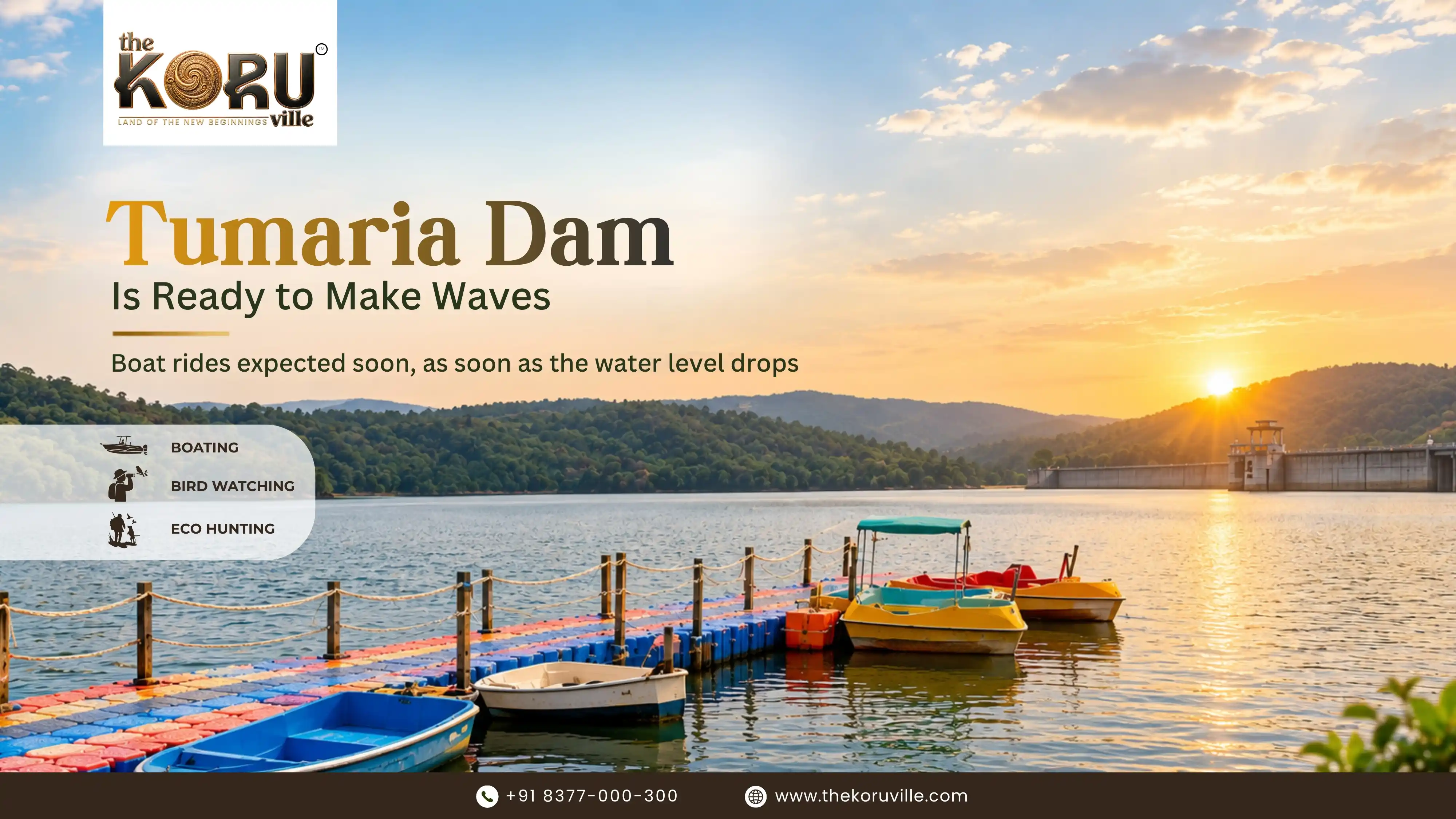
It's worth being straightforward about where things stand on the activity front: formal water-sports infrastructure — boating, kayaking, and similar organised activities — around Tumaria is still developing rather than fully established. Anyone planning a trip specifically for organised water activities should confirm current operator availability directly before travelling, rather than assuming a full tourism setup is already in place. Overpromising infrastructure that isn't there yet does visitors a disservice and undermines trust in the destination generally.
Who This Kind of Trip Actually Suits
Not every traveller will enjoy Tumaria, and it's worth being upfront about that rather than pretending it appeals to everyone.
It suits: birdwatchers and wildlife photographers who value undisturbed habitat over guaranteed big-cat sightings; couples or families wanting a genuinely quiet weekend without a packed itinerary; second-home seekers exploring a location before committing to it; and anyone who has already found Nainital or Mussoorie too crowded for their taste.
It's a poor fit for: travellers specifically chasing tiger sightings, since Phato's newer safari zone doesn't carry the sighting odds of Corbett's more established core areas; anyone wanting a full resort/hotel infrastructure with extensive dining and entertainment options on-site; and same-day trippers from Delhi NCR, given the realistic round-trip time involved.
What This Means If You're Looking at Land or a Second Home Nearby
Growing visitor interest in a reservoir belt tends to have a fairly predictable knock-on effect on the surrounding land market — more people wanting a base nearby, which in turn draws attention to plotted developments and villa projects in the villages around it. Kilawali, one of the villages closest to both Tumaria Dam and the Phato safari gate, is a fairly direct example of this shift, and it's where a small number of resort-themed villa projects — including our own, The Koru Ville — have positioned themselves.
If you're specifically exploring a second home in this belt, it's worth asking a few grounded questions rather than getting swept up in "emerging destination" language:
- What's the actual walking or driving distance to the water and to the safari gate — verified in person, not just stated in marketing material?
- Is the land legally converted from agricultural to residential use, and has this been confirmed for the specific plot, not just the general belt?
- Who's responsible for construction and upkeep — you, or the project team?
- Is the project's RERA registration complete, or still in process, and what does that mean for booking terms right now?
- Realistically, how often would you use a property here, given the travel time from wherever you're based?
For what it's worth, The Koru Ville sits within walking distance of Tumaria Dam and roughly 15 minutes from Phato Gate, offering resort-themed villas — Mayoora, Mriga, and Simha, ranging from 111 to 139 sq. yd — built entirely by the project's own team rather than left to individual buyers to construct. It's one option in this belt, not the only one, and like any property near a developing tourism corridor, it's worth evaluating on its own specific merits — location, construction quality, legal status, and terms — rather than on the general momentum of the area alone. RERA registration for the project is currently in process, and anyone considering it should verify current status directly with the developer and the official Uttarakhand RERA portal before making any decision.
Investment Considerations, Honestly
Early-stage tourism belts like this one carry a genuinely mixed risk-reward profile, and it's worth naming both sides plainly rather than leaning only on the upside.
What's genuinely in this belt's favour: proximity to a national park with nearly nine decades of standing as a wildlife destination; steadily improving road infrastructure connecting the area to Delhi NCR; land prices that reflect an earlier-stage market compared to Nainital or established Corbett-adjacent towns; and a lifestyle draw — clean air, low density, genuine quiet — that exists independent of any resale or rental outcome.
What's worth weighing honestly against that: tourism infrastructure here is still developing, not mature, which means visitor volume and rental demand are less predictable than in an established destination; water levels and reservoir conditions fluctuate seasonally, affecting how consistently water-adjacent activities can be marketed; and, as with any early-stage real estate market, price appreciation depends on how the area's growth actually unfolds over the coming years — something no developer, including us, can honestly predict or guarantee.
None of this means the belt isn't worth considering. It means it should be considered as what it actually is: an early-stage opportunity with real, verifiable locational strengths, evaluated with the same care you'd apply to any land purchase, rather than as a guaranteed win because a reservoir nearby is getting more attention this year.
Practical Notes Before You Visit or Invest
- Best time to visit: Roughly October through April, when temperatures are comfortable and migratory birds are present.
- Plan for more than a day trip. A same-day round trip from Delhi NCR leaves very little actual time at the destination; a two-night stay makes far better use of the drive.
- Verify land status independently. If you're evaluating property in this belt, confirm agricultural-to-residential land conversion and title documents directly, rather than relying on a developer's summary alone.
- Check current infrastructure, not projected infrastructure. Tourism amenities here are still developing — confirm what's actually operational today before building a trip or an investment decision around what's planned for the future.
- Ask about seasonal water levels directly. If a water-adjacent view or activity is part of what's drawing you to a specific property, ask how water levels vary through the year rather than assuming the reservoir looks the same in every season.
For most of its history, Tumaria Dam has done one job, and done it well. Built as an earthen embankment near Kashipur in Udham Singh Nagar district, it has spent decades storing water for the surrounding farmland, largely unnoticed by anyone outside the irrigation department and the villages that depend on it. That's starting to change, and the reasons are worth understanding if you're tracking either Uttarakhand's tourism map or its second-home real estate market — because the two are moving together in this particular pocket of the state.
This piece looks at what Tumaria Dam actually is, its history and function, why interest in the surrounding belt is picking up, how it compares to more established Uttarakhand destinations, what a visit here realistically looks like today, and what all of this means for anyone considering land or a villa nearby.
What Tumaria Dam Actually Is
Tumaria Dam is a homogeneous earthen dam located in Udham Singh Nagar district, roughly 20 km from Kashipur town. According to records maintained by Uttarakhand's irrigation authorities, it was built primarily for irrigation, flood control, and fisheries, and it draws its water from the Dhela and Phika river systems — a detail that matters if you're trying to understand the ecology of the area, since these are smaller, forest-fed tributaries rather than a major Himalayan river. The reservoir it forms stretches a considerable distance across the Tarai belt, and it remains functionally an irrigation asset first — the tourism interest building around it is a newer, secondary development layered on top of that original purpose, not a replacement for it.
This distinction matters more than it might initially seem. Reservoirs built for irrigation tend to have water-level management schedules driven by agricultural need, not visitor convenience — which is part of why anyone visiting or investing near Tumaria should treat seasonal fluctuation as a normal feature of the landscape, not an inconvenience to complain about.
A Brief History of the Dam and the Belt Around It
Dams like Tumaria were part of a broader push through the mid-to-late 20th century to stabilise irrigation across the Tarai region — the same era that produced neighbouring reservoirs like Baur, Haripura, and Nanak Sagar elsewhere in Udham Singh Nagar district. For decades, the villages around these reservoirs, including Kilawali, remained almost entirely agricultural: fields, small orchards, and a slow, seasonal rhythm tied to the monsoon and the reservoir's water release schedule.
What's changed isn't the dam itself — it's the context around it. Delhi NCR's population has grown, its second-home-seeking middle and upper-middle class has grown alongside it, and the drive time from the capital to this belt has shortened as highway infrastructure has improved. A reservoir that spent fifty years as a purely functional piece of irrigation infrastructure is now sitting inside driving distance of a metro region with a genuine appetite for quiet, forest-adjacent getaways — and that's really the whole story of why Tumaria is suddenly part of the conversation.
Why This Reservoir Is Suddenly on People's Radar
A few things are converging here at once, and it's worth separating them rather than treating this as one vague "tourism boom" story.
First, proximity to Jim Corbett's Phato zone. Tumaria Dam sits close to the Phato area of the Corbett tourism circuit — a safari gate that, unlike several others in the park, stays open through the year. That means a visitor doesn't have to choose between a wildlife trip and a lakeside one; the two sit close enough together to combine into a single weekend.
Second, fatigue with the usual hill-station circuit. Nainital and Mussoorie have both become victims of their own popularity — long weekends bring traffic jams that eat into the actual holiday, and accommodation prices climb accordingly during peak season. A quieter reservoir at a lower elevation, without the hairpin drive up a mountain, is a genuinely different kind of trip, not just a cheaper version of the same one.
Third, improving access. Kashipur's road connections to Delhi NCR have been getting steadily better, and Pantnagar Airport and the region's railway stations put Tumaria within a reasonable one-day trip for most of northern India, without requiring an overnight journey.
Fourth, birdlife. Because the reservoir and its surrounding wetlands have stayed relatively undisturbed, they function as a winter stopover for migratory birds moving along the Himalayan flyway. For anyone into birdwatching or photography, that's not a minor detail — it's often the actual reason for the trip.
How Tumaria Compares to Uttarakhand's More Established Destinations
It's worth being specific about what Tumaria is and isn't, because vague comparisons to Nainital or Corbett's core zones tend to oversell it.
Versus Nainital: Nainital offers altitude, a genuine hill-station climate, and decades of built-up tourist infrastructure — hotels, restaurants, markets, and transport all scaled for high visitor volume. Tumaria offers none of that density. What it offers instead is space, quiet, and a completely different kind of landscape — flat reservoir and forest edge rather than mountain views. These aren't substitutes for each other; they're different trips serving different moods, and treating Tumaria as "Nainital without the crowds" undersells how genuinely different the terrain and experience are.
Versus Corbett's core safari zones (Dhikala, Bijrani): Corbett's more established zones have decades of dedicated wildlife tourism infrastructure, higher sighting odds for tigers specifically, and correspondingly higher demand and permit competition. Phato, near Tumaria, is a newer, quieter entry point — good for a genuine forest experience and reliable year-round access, but not a substitute for the density of wildlife activity in the park's most established zones.
Versus Ramnagar town: Ramnagar is the practical gateway to Corbett — more hotels, more choice, more infrastructure, and a railway station. Tumaria and the villages around it, including Kilawali, offer a quieter, more rural alternative a short drive from Ramnagar, trading convenience and choice for genuine peace and lower visitor density.
The honest takeaway: Tumaria isn't competing with any of these destinations head-on. It's carving out a different niche — quiet, water-adjacent, forest-edge — for a specific kind of traveller who has already decided the more crowded options aren't what they're looking for.
Getting There
By road: The drive from Delhi NCR to the Kashipur–Tumaria belt typically runs around 4.5 to 5 hours via the Delhi–Meerut Expressway and the NH-9/NH-724 corridor, depending on traffic and starting point within NCR.
By rail: Kashipur Junction connects to major cities including Delhi, Lucknow, and Dehradun, and sits roughly 20 km from the dam. Gaushala and Ramnagar railway stations offer additional access points slightly further out.
By air: Pantnagar Airport is the nearest air link, roughly 90 minutes by road from the reservoir, with regular domestic flight connections.
None of this makes Tumaria a spontaneous, same-day destination from Delhi NCR — it's squarely a weekend-trip distance, which is worth factoring in when planning how much time to actually budget for a visit.
What There Is to Actually Do Here
Birdwatching and quiet mornings by the water. The early hours, shortly after sunrise, tend to be when bird activity and the light both peak — a detail worth knowing if you're planning a visit specifically for photography rather than general sightseeing. The reservoir's wetlands serve as a winter stopover for species migrating along the Himalayan flyway, making the October-to-April window particularly active for anyone interested in this.
A day trip into Phato's safari zone. Since Phato remains open year-round, it's realistic to pair a morning safari with an afternoon by the reservoir, rather than needing separate trips for each.
Slow walks and open space. Much of the appeal here isn't a specific activity at all — it's simply open sky, water, and forest edge, in contrast to the density of a typical hill-station town centre. For visitors used to a packed sightseeing itinerary, this can take some adjusting to; the point of a trip here is largely the absence of a checklist.
It's worth being straightforward about where things stand on the activity front: formal water-sports infrastructure — boating, kayaking, and similar organised activities — around Tumaria is still developing rather than fully established. Anyone planning a trip specifically for organised water activities should confirm current operator availability directly before travelling, rather than assuming a full tourism setup is already in place. Overpromising infrastructure that isn't there yet does visitors a disservice and undermines trust in the destination generally.
Who This Kind of Trip Actually Suits
Not every traveller will enjoy Tumaria, and it's worth being upfront about that rather than pretending it appeals to everyone.
It suits: birdwatchers and wildlife photographers who value undisturbed habitat over guaranteed big-cat sightings; couples or families wanting a genuinely quiet weekend without a packed itinerary; second-home seekers exploring a location before committing to it; and anyone who has already found Nainital or Mussoorie too crowded for their taste.
It's a poor fit for: travellers specifically chasing tiger sightings, since Phato's newer safari zone doesn't carry the sighting odds of Corbett's more established core areas; anyone wanting a full resort/hotel infrastructure with extensive dining and entertainment options on-site; and same-day trippers from Delhi NCR, given the realistic round-trip time involved.
What This Means If You're Looking at Land or a Second Home Nearby
Growing visitor interest in a reservoir belt tends to have a fairly predictable knock-on effect on the surrounding land market — more people wanting a base nearby, which in turn draws attention to plotted developments and villa projects in the villages around it. Kilawali, one of the villages closest to both Tumaria Dam and the Phato safari gate, is a fairly direct example of this shift, and it's where a small number of resort-themed villa projects — including our own, The Koru Ville — have positioned themselves.
If you're specifically exploring a second home in this belt, it's worth asking a few grounded questions rather than getting swept up in "emerging destination" language:
- What's the actual walking or driving distance to the water and to the safari gate — verified in person, not just stated in marketing material?
- Is the land legally converted from agricultural to residential use, and has this been confirmed for the specific plot, not just the general belt?
- Who's responsible for construction and upkeep — you, or the project team?
- Is the project's RERA registration complete, or still in process, and what does that mean for booking terms right now?
- Realistically, how often would you use a property here, given the travel time from wherever you're based?
For what it's worth, The Koru Ville sits within walking distance of Tumaria Dam and roughly 15 minutes from Phato Gate, offering resort-themed villas — Mayoora, Mriga, and Simha, ranging from 111 to 139 sq. yd — built entirely by the project's own team rather than left to individual buyers to construct. It's one option in this belt, not the only one, and like any property near a developing tourism corridor, it's worth evaluating on its own specific merits — location, construction quality, legal status, and terms — rather than on the general momentum of the area alone. RERA registration for the project is currently in process, and anyone considering it should verify current status directly with the developer and the official Uttarakhand RERA portal before making any decision.
Investment Considerations, Honestly
Early-stage tourism belts like this one carry a genuinely mixed risk-reward profile, and it's worth naming both sides plainly rather than leaning only on the upside.
What's genuinely in this belt's favour: proximity to a national park with nearly nine decades of standing as a wildlife destination; steadily improving road infrastructure connecting the area to Delhi NCR; land prices that reflect an earlier-stage market compared to Nainital or established Corbett-adjacent towns; and a lifestyle draw — clean air, low density, genuine quiet — that exists independent of any resale or rental outcome.
What's worth weighing honestly against that: tourism infrastructure here is still developing, not mature, which means visitor volume and rental demand are less predictable than in an established destination; water levels and reservoir conditions fluctuate seasonally, affecting how consistently water-adjacent activities can be marketed; and, as with any early-stage real estate market, price appreciation depends on how the area's growth actually unfolds over the coming years — something no developer, including us, can honestly predict or guarantee.
None of this means the belt isn't worth considering. It means it should be considered as what it actually is: an early-stage opportunity with real, verifiable locational strengths, evaluated with the same care you'd apply to any land purchase, rather than as a guaranteed win because a reservoir nearby is getting more attention this year.
Practical Notes Before You Visit or Invest
- Best time to visit: Roughly October through April, when temperatures are comfortable and migratory birds are present.
- Plan for more than a day trip. A same-day round trip from Delhi NCR leaves very little actual time at the destination; a two-night stay makes far better use of the drive.
- Verify land status independently. If you're evaluating property in this belt, confirm agricultural-to-residential land conversion and title documents directly, rather than relying on a developer's summary alone.
- Check current infrastructure, not projected infrastructure. Tourism amenities here are still developing — confirm what's actually operational today before building a trip or an investment decision around what's planned for the future.
- Ask about seasonal water levels directly. If a water-adjacent view or activity is part of what's drawing you to a specific property, ask how water levels vary through the year rather than assuming the reservoir looks the same in every season.
Frequently Asked Questions
Where is Tumaria Dam located?
Tumaria Dam is located in Udham Singh Nagar district, Uttarakhand, approximately 20 km from Kashipur town.
Which rivers feed Tumaria Dam?
The reservoir is fed by the Dhela and Phika river systems, both smaller, forest-fed tributaries in the Tarai belt.
What kind of dam is Tumaria Dam?
It's a homogeneous earthen dam, built primarily for irrigation, flood control, and fisheries.
Is Tumaria Dam close to Jim Corbett National Park?
Yes. It sits near the Phato zone of the Corbett tourism circuit, one of the park's safari gates that stays open year-round.
How far is Tumaria Dam from Delhi NCR?
By road, the drive typically takes around 4.5 to 5 hours via the Delhi–Meerut Expressway and NH-9/NH-724, depending on traffic and starting point.
How does Tumaria Dam compare to Nainital as a destination?
They're not really substitutes for each other. Nainital offers altitude, hill-station infrastructure, and established tourism density; Tumaria offers flat reservoir and forest-edge quiet, with far less built-up infrastructure. They suit different kinds of trips.
Is Tumaria Dam a good spot for tiger sightings?
Not particularly. Phato, the safari zone nearest Tumaria, is newer and quieter than Corbett's more established core zones like Dhikala and Bijrani, which carry higher sighting odds. Phato is better suited to a general forest and wildlife experience than a dedicated tiger-sighting trip.
What is there to do at Tumaria Dam?
Birdwatching, quiet walks along the reservoir edge, and day trips into the Phato safari zone are the main draws. Organised water-sports infrastructure in the area is still developing, so it's worth confirming current operator availability before planning a trip around it.
When is the best time to visit?
Roughly October through April, when temperatures are comfortable and migratory birds are present along the reservoir.
Is Tumaria Dam a good area for a second home or property investment?
It's an early-stage market with real locational advantages — proximity to an established national park, improving road access from Delhi NCR — but also the usual caveats of an early-stage area, including less proven price history and developing tourism infrastructure. Buyers should evaluate any specific project on its own legal status, construction quality, and terms, independent of general area momentum.
Are there villa or second-home projects near Tumaria Dam?
Yes, a small number of resort-themed villa developments have come up in villages near the reservoir, including Kilawali. The Koru Ville, for example, is located within walking distance of the dam and about 15 minutes from Phato Gate.
Disclaimer: This article is for general informational purposes only and does not constitute travel advice, investment advice, or a guarantee of returns, rental income, or appreciation. Details regarding The Koru Ville, including RERA status, pricing, and amenities, are subject to change and should be independently verified with the developer and the official Uttarakhand RERA portal before making any booking or payment.